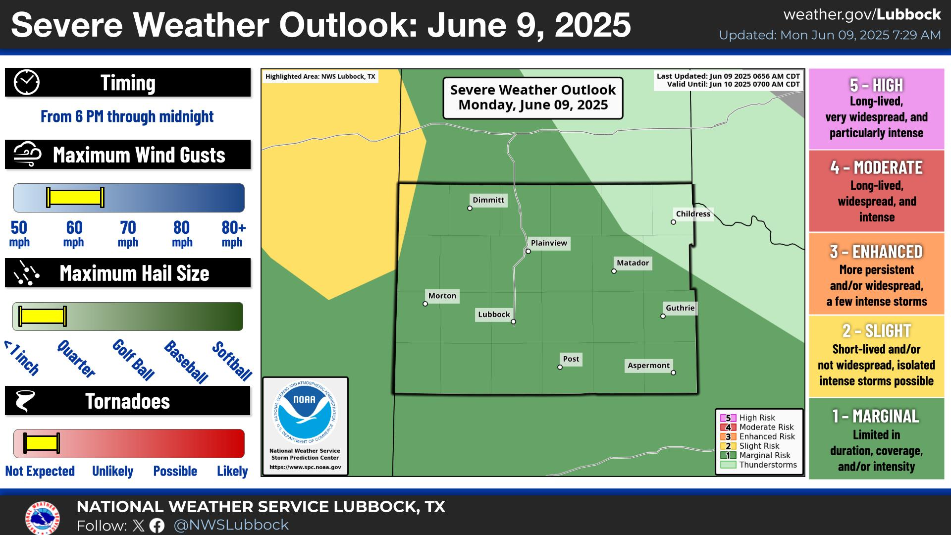
Last Map Update: Mon, Jun 9, 2025 at 6:34:27 am CDT


 Weather Events |
 Skywarn Program |
 Submit A Storm Report |
 West Texas Mesonet Data |
 Precipitation Reports |
 Winter Weather |
|
Local Weather History For June 9th...
|
|
2005: A regional outbreak of severe storms, including tornadoes, developed east of a dryline late this day that stretched
from northwest Kansas south to the Texas South Plains. In the NWS Lubbock forecast area, at least three tornadoes were confirmed from two particularly intense supercell thunderstorms. The first of these supercells developed in southwest Lubbock County late in the afternoon before rapidly intensifying as it approached southeast Hale County. As this supercell was over Petersburg, an exceptionally long-lived tornado touched down and tracked generally east into south-central Floyd County for the next 2 hours and 45 minutes! F1 tornadic damage was surveyed in Petersburg where a local tractor business suffered significant damage. This tornado then intensified and assumed a large, multiple vortex structure around which time NWS Doppler radar indicated exceptionally erratic motion and behavior with the parent mesocyclone. This massive tornado deviated north from its easterly motion, then began moving west, before resuming an easterly track. Unfortunately, significant damage was dealt to all structures in the path of this tornado and F3 damage was determined at one point when a pickup truck was thrown over 1/2 mile from a driveway into a field. Amazingly, this truck sustained only glass damage indicating it was maintained in a lofted state for at least several seconds. At times, NWS radar indicated this massive tornado may have been accompanied by occasional satellite tornadoes; however, no definitive evidence of this was found. Despite generally poor visibility due to the time of evening and lack of light, extensive video of this tornado was captured by media and storm chasers. Upon dissipating ten miles east of McCoy, this tornado caused over $70M in structural damage and around $300,000 in damage to crops. Another supercell to the south produced two F0 tornadoes in Crosby and Dickens Counties; both of which remained over undeveloped land. |